


Manta Farm brings professional drones, robots and AI systems into the field. Application, multispectral monitoring, inspections and robotics for farms, contractors and agronomists. More precision, less time, fewer heavy machines on the soil.
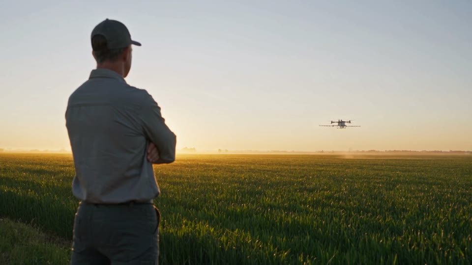

How we work
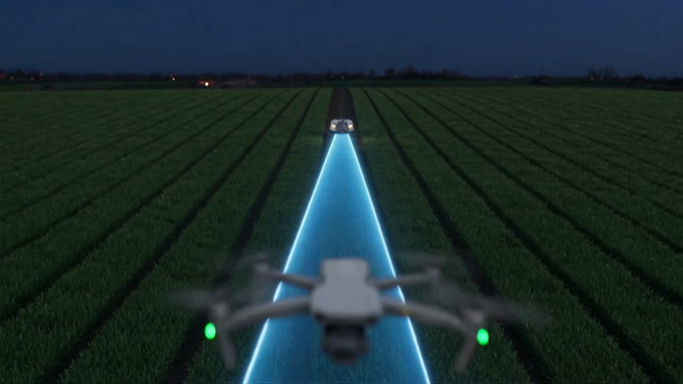
A night's work in twenty seconds
The treatment, the reading of the field, the robot. Scroll to follow the whole cycle.
Application
The right dose, no wheels on the field
The T100 applies liquids and granules where they are needed, including where a tractor cannot go or would cost too much.

The spraying system
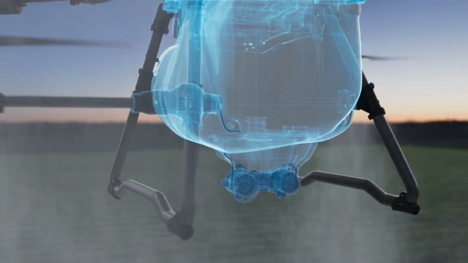
Forty litres a minute, droplet by droplet
Pumps and nozzles set flow and droplet size for the crop and the product, not for an average.

Coverage
The product reaches under the canopy
Rotor downwash opens the vegetation and carries the treatment where a boom cannot.

Monitoring
Stress shows before it shows
The multispectral sensor reads crop vigour and marks the zones to treat, metre by metre.

Robotics
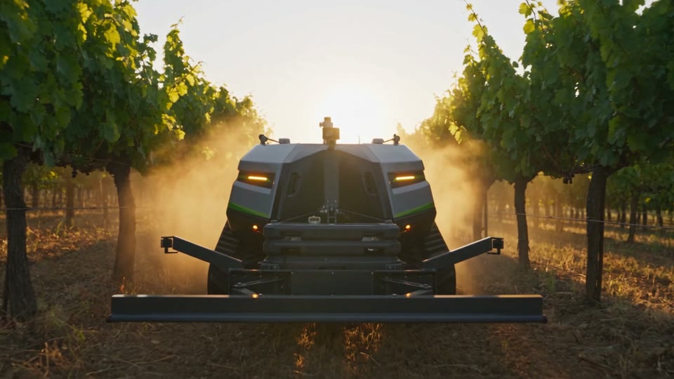
The heavy work goes to the robot
Tracks, autonomous guidance and implements instead of a tractor: less fuel, less compacted soil.

The system
Air and ground on one work plan
Drone and robot share map, routes and data: one operation, planned once.

From data to dose
The same field, read three ways
A sample plot of twelve hectares: what the eye sees, what the multispectral sensor sees, how much product goes on each zone.
The crop as the camera sees it: almost uniform green, no obvious difference.
The vigour index: cyan for healthy zones, orange for zones under stress.
The prescription map: full dose in cyan, half dose on the margin, no treatment elsewhere. The dashed lines are the passes a 24 metre boom would make.
- Area under stress
- 2.3ha
- Product saved
- 73%
- Soil compacted
- 0m²
of a 12 hectare plot
compared with a uniform dose over the whole field
against 5,200 m² from a 24 metre boom in 13 passes
Sample figures, computed on a simulated field. On your crops the map comes from the multispectral flight and the dose is set by the agronomist.
Why drones
Fewer passes, more control
Less compaction
The machine never enters the field
Soil structure stays intact
Fast operations
Planned at the desk, done in hours
Even on wet ground or slopes
Precision
Routes, doses and zones fixed before take-off
Every pass logged
Less product
Targeted treatment of stress zones
Variable rate from the map
Field data
Vigour and prescription maps
A report after every job
Difficult ground
Slopes, waterlogging, fragmented plots
Where the tractor is not worth it
The fleet
Three machines, one work plan
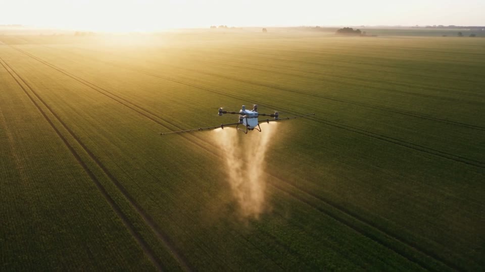
Application
DJI Agras T100
The workhorse. One hundred litres of liquid or one hundred and fifty of granules per load, radar and 360 degree vision, fast charging between flights.
- 100L
- spray tank
- 150L
- spreading tank
- 40L/min
- spray flow rate
- 13,8m/s
- operating speed
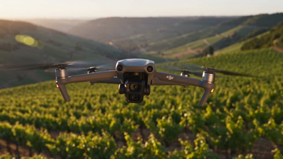
Monitoring
DJI Mavic 3 Multispectral
Eyes on the field. A 20 megapixel RGB camera plus four multispectral sensors, centimetre RTK, up to two hundred hectares in a single flight.
- 4 × 5MP
- multispectral cameras
- 20MP
- RGB camera
- 43min
- flight time
- 200ha
- area per flight

Inspections
DJI Matrice 4T
The platform for seeing far and in the dark: thermal camera, hybrid zoom up to 112 times, laser rangefinder and an auxiliary light for night flights.
- 640×512px
- thermal resolution
- 1.800m
- rangefinder range
- 112×
- maximum hybrid zoom
- 49min
- flight time
Figures are those declared by the manufacturer. Field performance depends on crop, wind and dose, and we put it in writing in the quote.
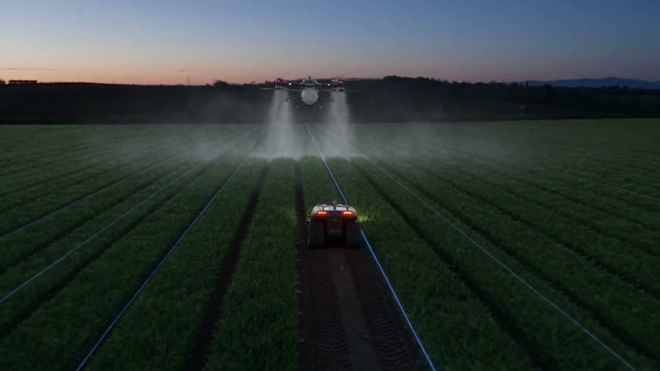
Agriculture 5.0
We were not built just to fly
Drones today, robots and AI tomorrow: one system that takes a farm from the data to the operation in the field.
Tell us about your field
Crop, area and goal: three lines are enough for a first assessment.
- Phone+39 0383 190 0142
- WhatsApp+39 351 555 0142
- Emailinfo@mantafarm.it
- OfficeVia Emilia 58, 27058 Voghera (PV)
- Where we workLombardia, Piemonte, Emilia-Romagna, Veneto, Liguria
Site visits across Lombardy, Piedmont, Emilia-Romagna, Veneto and Liguria. Elsewhere, we assess it on a call.