


- 56×
- zoom
- 312m
- range
- 4.8°C
- difference
- 05:40
- time
Sample telemetry · DJI Matrice 4T
Visual and thermal inspections
See a leak before it becomes a patch
With the DJI Matrice 4T we inspect irrigation systems, greenhouses, roofs, embankments and channels. Thermal camera, zoom up to 112 times and laser rangefinder, at night too.
The point
Heat tells what the photograph does not show

A buried pipe that leaks, a panel running hotter than its neighbours, a greenhouse roof losing heat: in thermal they are sharp patches, to the eye they do not exist.
The Matrice 4T sees them from a hundred metres and measures them with the rangefinder: position, distance, size. The report comes with coordinates, not with a description.
After hail and wind the survey serves another purpose: documenting the damage for the claim, with geotagged photographs taken the same day.
The scan
Three anomalies in one pass, with coordinates
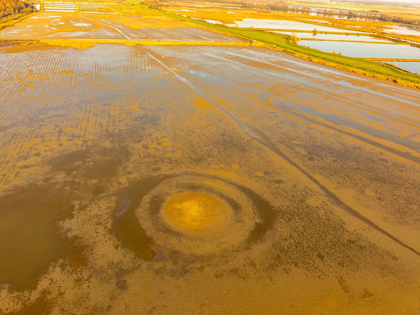
Below the descending line is the thermogram. The coolest spots are where water escapes where it should not; the warmest is a stretch the water never reaches. Every marker is a line of the report, with temperature and distance.


- 01 · Leak on the main line
- −3.8 °C
- 02 · Leak on the span
- −2.9 °C
- 03 · Dry stretch
- +4.1 °C
184 m from the centre · against the surrounding soil
246 m from the centre · nozzle or joint
158 m from the centre · water not arriving
Illustrative simulation: the thermogram is derived from the photograph and the three anomalies are drawn. In a real survey the thermogram comes from the thermal camera and the figures are measured.
What we do
The inspections
-
01
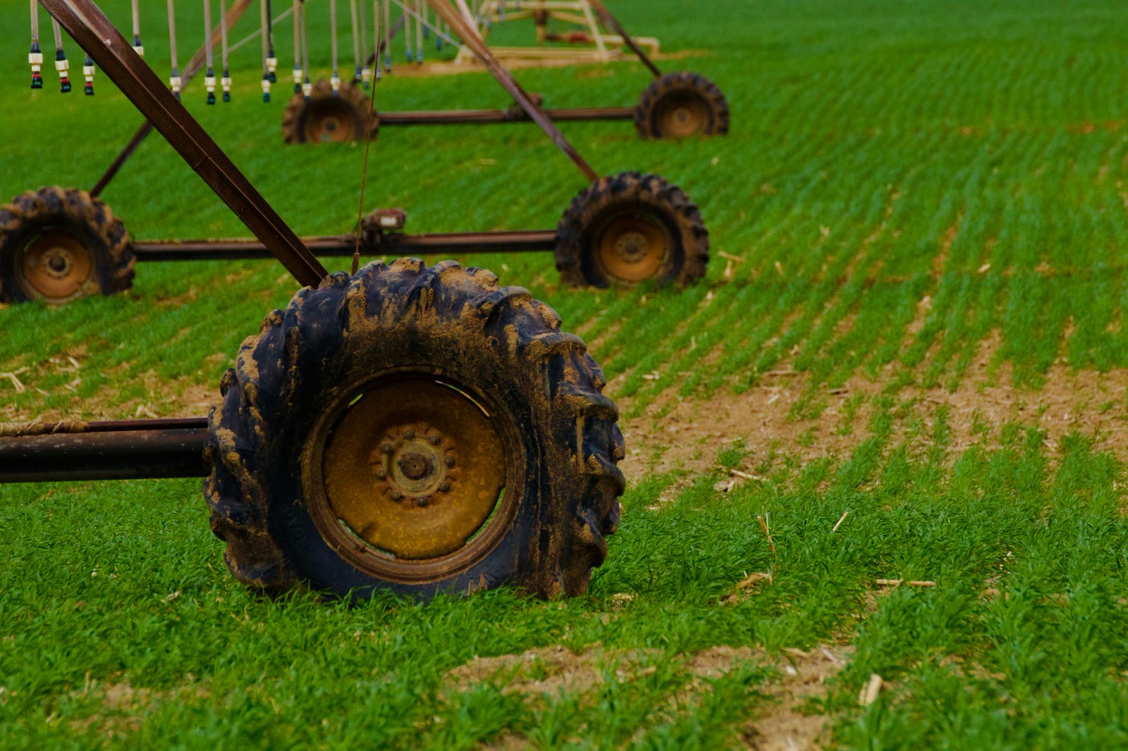
Irrigation systems
Pivots, drip lines and buried mains: leaks, blockages and uneven flow seen in thermal, with coordinates for every anomaly.
-
02
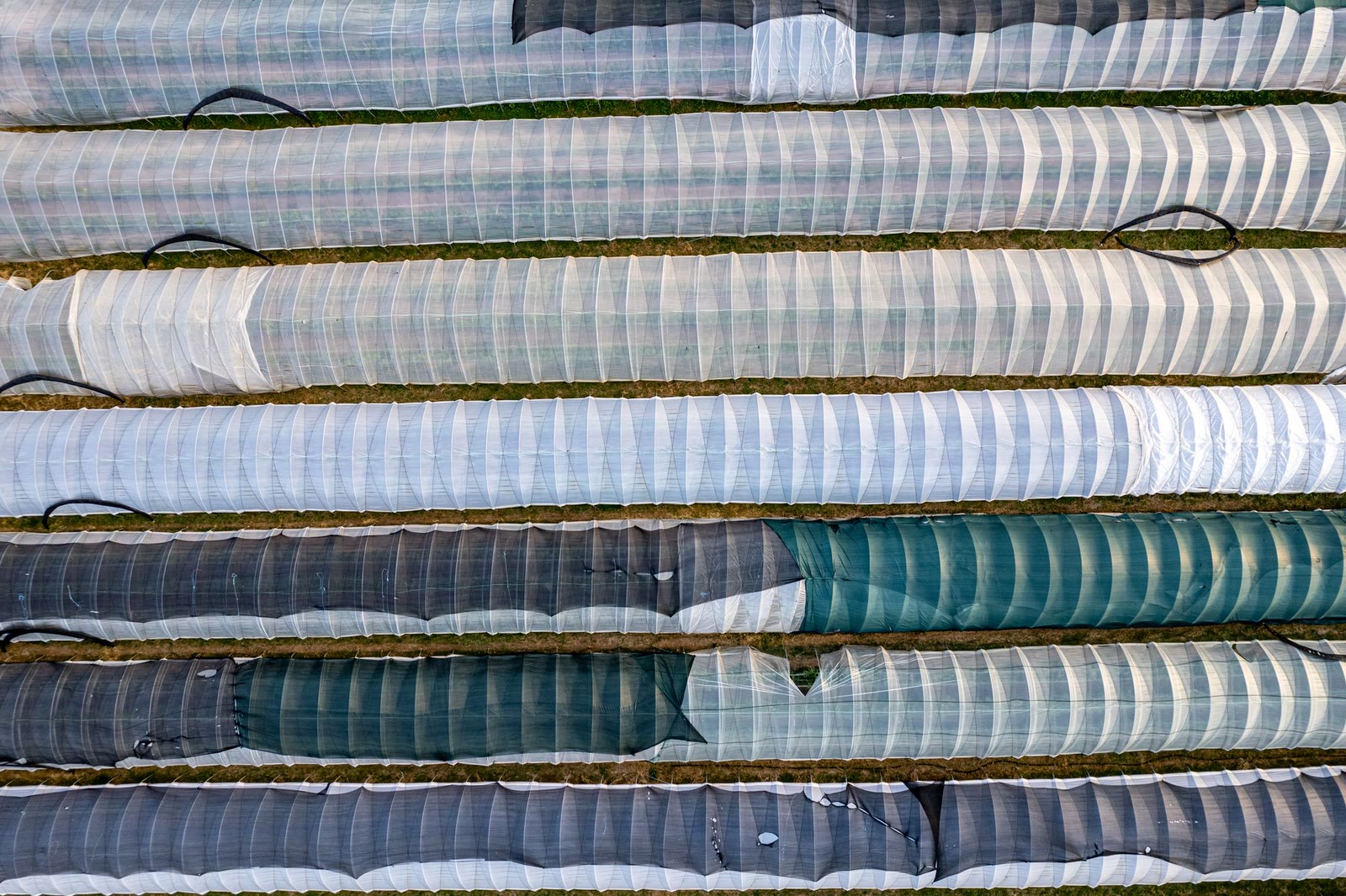
Greenhouses and roofs
Heat loss, torn film, loose sheets and pooling on roofs, without climbing the structures.
-
03
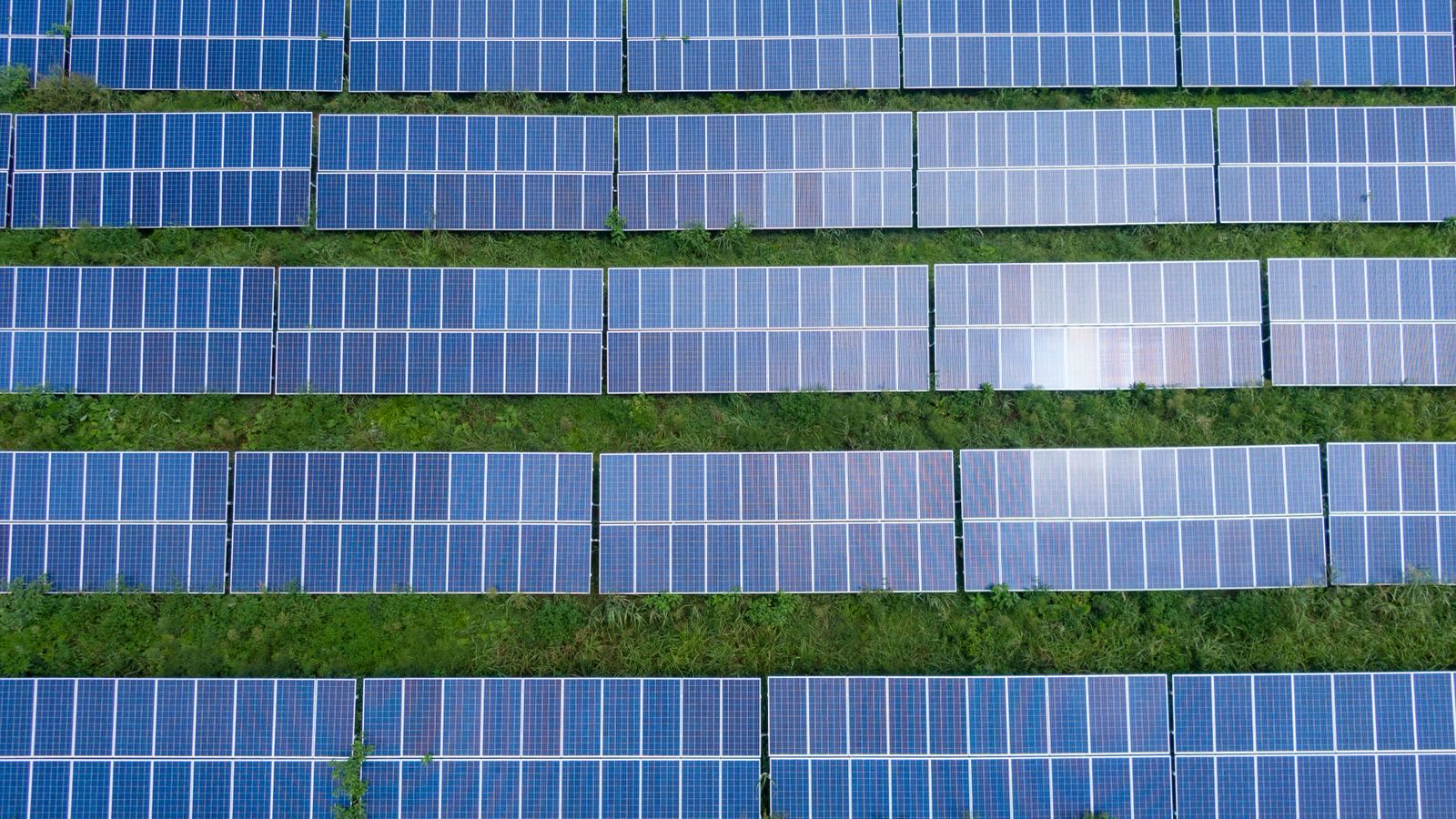
Farm solar
Hot cells and strings, shading, soiling. On the barn roof or on the ground.
-
04
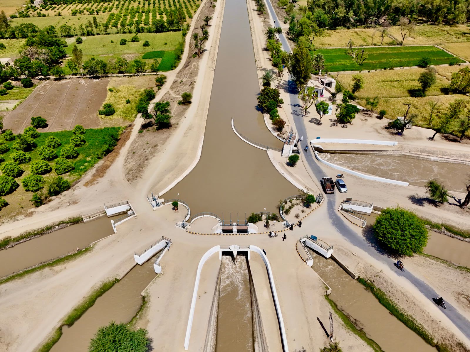
Embankments and channels
Erosion, seepage and blockages along kilometres of bank in a morning, with the rangefinder for measurements.
-
05
Storm damage
Hail, wind, flooding: the affected area mapped and photographed for the insurance claim.


At night
When the ground cools down, the leak stays warm
The hours after sunset are the best for irrigation systems: the temperature difference is at its widest and the Matrice 4T flies with its own light. The report is ready by morning.
How it runs
In three stages
-
01
Briefing
What to look for, where, how urgently. For irrigation, best with the water under pressure.
-
02
Flight
Thermal and visual in the same pass, by day or at the hours when the temperature difference is greatest.
-
03
Report
Every anomaly with photo, thermogram, coordinates and measurement. Ready to hand to the maintainer or the loss adjuster.
Prices
Price guide
| Inspection | Duration | From |
|---|---|---|
| Thermal inspection of systems | half day | €380 |
| Thermal inspection of systems | full day | €650 |
| Storm damage survey | per plot | €180 |
| Embankment and channel survey | per kilometre | €45 |
| Night flight | supplement | + 30% |
Indicative prices, VAT excluded, within sixty kilometres of our office. Beyond that, travel is added.
Questions
Before you write
When is a thermal inspection worth doing?
At dawn or after sunset, when the difference between what is losing water and what is not is sharpest. For solar, the opposite: midday in full sun.
Does the report hold up for insurance?
The photographs are geotagged, dated and unretouched. The loss adjuster uses them as documentation; the damage estimate remains theirs.
Do you fly at night?
Yes, with the Matrice 4T's auxiliary light and the required authorisations. Leaks in irrigation systems show best precisely at night.
A report with coordinates, not impressions
Tell us what worries you and since when. The rest we see from above.